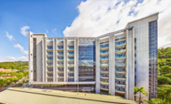
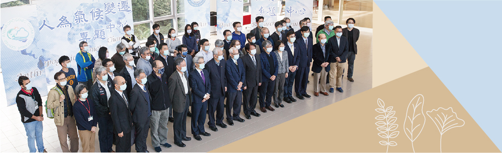
- About
About RCEC
Faculty/Staff
Education/Visiting/Others
- Our Research
- News
About RCEC
Faculty/Staff
Education/Visiting/Others
Lau, Tsn Kin劉子健
Postdoctoral Research Fellow
Research Interests
My research interests lie at the intersection of remote sensing, urban climate, spatial analysis, and environmental monitoring. I focus on integrating satellite imagery, GIS, and machine learning to investigate environmental phenomena and support data-driven urban planning. A key area of my work explores the spatial distribution of solar panel installations, highlighting socio-environmental issues and promoting sustainable energy transitions. I also develop methodologies for assessing urban thermal environments, such as sky view factor and local climate zones, to inform heat mitigation strategies. Additionally, I contribute to urban ventilation analysis by applying heuristic algorithms to identify airflow corridors, aiming to improve outdoor thermal comfort. My work emphasizes the development of scalable and transferable methods that can be applied across different urban contexts. I am also interested in leveraging open-access data and computational tools to enhance environmental sustainability and decision-making in rapidly changing urban environments.
Representative Publications
Research
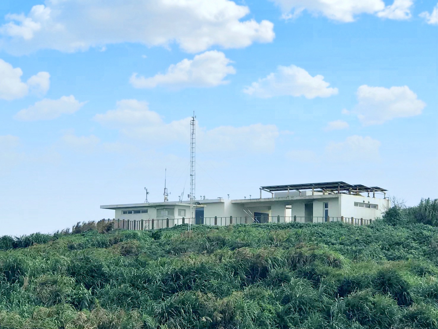
LULCC due to solar energy development As renewable energy becomes increasingly important in Taiwan’s sustainable development, it is necessary to examine the impact of renewable energy development on land use/land cover change (LULCC). Therefore, we investigated the spatiotemporal changes in solar panel area and LULCC in northern, central, and southern Taiwan. The results showed that the area of solar panels has increased rapidly in recent years, and the conflict with LULCC has intensified in central and southern Taiwan. This is of great significance for the sustainable development of future energy transition. Reference: Huang et al., 2025. Understanding the relationship between urban heat and built environment Given the severity of the Urban Heat Island (UHI) effect in Taiwan, I integrated various technologies to analyze urban heat distribution and develop methods to mitigate UHI. I used remote sensing and Internet of Things data to study the relationship between urban heat and the built environment, and applied machine learning methods to analyze it. In addition, I also used a heuristic path-finding algorithm to understand the ventilation conditions within the city and identify areas that urgently need improvement. The above research reduced the cost of urban climate monitoring and ventilation assessment, and provided important reference for related urban planning work. Reference: Lau and Lin, 2024; Lau et al, 2024.