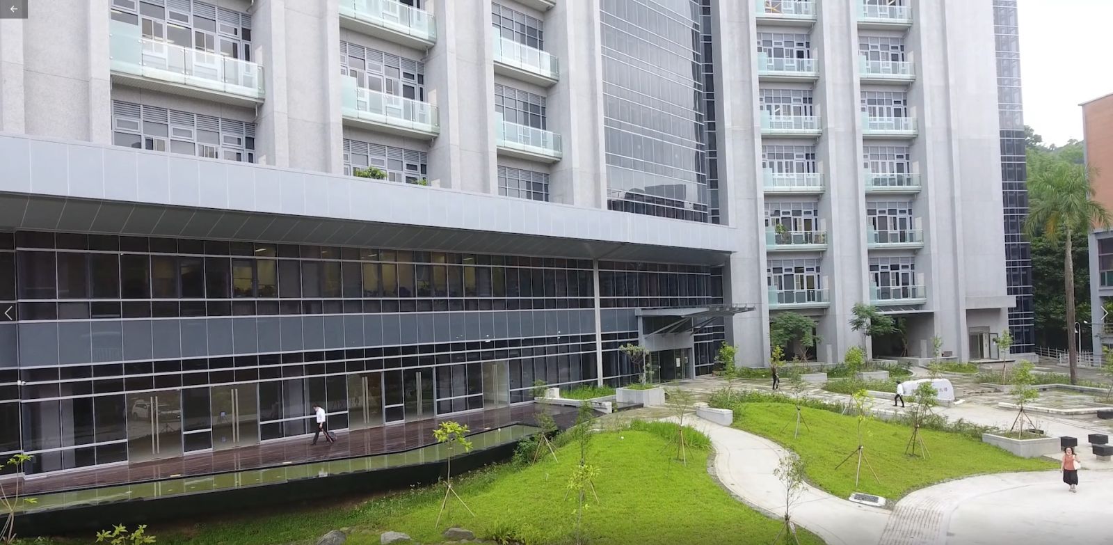
- About
About RCEC

Faculty/Staff

Education/Visiting/Others

- Our Research
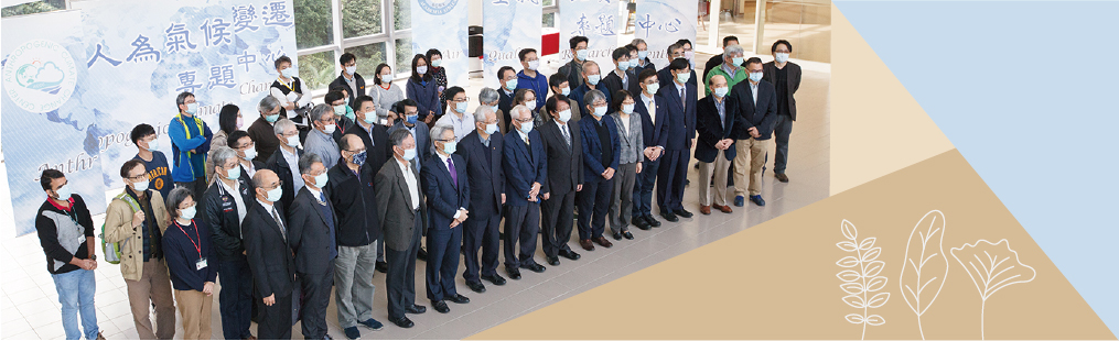
- News
About RCEC
Faculty/Staff
Education/Visiting/Others

Figure: (Upper left) The NOx emission within 0.08◦ of Taichung thermal power plant (TCPP) for 2021 (the circled region). The region of TCPP and Dragon Steel Corporation is shown as the yellow and blue polygon, respectively. (Lower left) The NOx emission within 0.08◦ of Mailiao Sixth Cracker (ML) for 2021 (the circled region). The region of ML Sixth Cracker is shown as the black polygon. (Right) The 2021 annual mean NOx emissions of northern, north-central Taiwan, central, south-central, and southern Taiwan. The blue line is the boundary of each region. TCPP and ML are marked as green stars.
In recent years, state-of-the-art satellites have opened the doors to global, high-resolution measurements of trace gases. The TROPOspheric Monitoring Instrument (TROPOMI) NO2 column density, with high spatial resolution, enables us to quantify the NOx emission from space. This provides an independent comparison with traditional emission inventories, which are subject to various uncertainties and a lag of several years as compared to the timely satellite observations. This study aims to validate the method by comparing the top-down emissions and CEMS, and to evaluate the local emission inventory for demonstration of the application.
The derived emission is calculated as the sum of chemical sink and divergence due to wind. The NOx chemical lifetime, needed to estimate the chemical sink, is derived based on ground-based measurements of ozone photolysis rate, ultra-violet (UV) index, and temperature. The derived lifetime of Taiwan is about 1–2 h in summer and 2–4 h in winter. The retrieved 2021 annual emissions for regions near two major pollution sources, Taichung thermal power plant (TCPP) and Mailiao Industrial Zone (ML), are comparable with the emission from the Continuous Emission Monitoring System (CEMS), with a difference of 6% and − 12%, respectively.
After validating the data and methods, the NOx emissions for five regions of western Taiwan are derived and applied to evaluate the bottom-up inventories. For northern and southern Taiwan, the top-down emissions agree well with emission inventories. The top-down emissions are 12%, 23%, and 16% higher than emission inventories for north-central, central, and south- central Taiwan, respectively. This indicates that the bottom-up inventories are underestimated from north-central to south-central Taiwan, which may be associated with the uncertainties from traffic sources. Given the various complex pollution sources, deriving NOx emissions from space allows us to acquire a better understanding of emissions on urban scales and improve the bottom-up emission inventories.
Key points
More information